Hurricane Approaches Hawaii; Watch Posted
- Share via
HONOLULU — Hurricane Nele, packing winds up to 110 m.p.h., accelerated toward the Hawaiian Islands on Saturday, kicking up 8- to 10-foot waves and prompting authorities to post a hurricane watch.
The hurricane watch was issued for all the islands, with the storm about 485 miles southwest of Honolulu and moving in a northeasterly direction at 10 m.p.h. to 15 m.p.h.
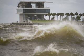
The high surf generated by the storm sent water and sand across a beachside road in the Poipu resort area of Kauai, police said.
High Tide Damage Feared
No immediate evacuations were ordered, but police expressed concern about whether damage would occur during the afternoon’s high tide.
The storm had sustained winds of 85 m.p.h. near the center with hurricane-force winds, 73 m.p.h. or more, extending about 50 miles from the center, the National Weather Service said. Maximum gusts were 110 m.p.h.
If the storm does not change its course or speed, it will pass just west of the island, said Dick Sasaki, a forecaster for the weather service in Honolulu. “I stress that’s if it doesn’t change speed or direction,” he said.
“Safety measures should be started now, especially for all coastal residents, and completed before nightfall,” Sasaki said in a statement.
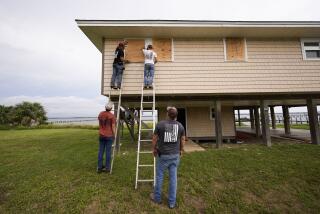
On Oahu, where 80% of Hawaii’s population of 1 million lives, Civil Defense Director George Kekuna urged residents to tie down loose items outside or move them inside.
Residents also were urged to stock up on non-perishable foods, prescribed medications and enough fuel for stoves and lanterns for several days.
Hurricane Nele was following a similar path to Hurricane Iwa, the last major storm to hit the islands, which swept over Oahu and Kauai in November, 1982, causing damage estimated at $234 million.
Meanwhile, in the western Gulf of Mexico, Tropical Storm Juan, with maximum sustained winds of 45 m.p.h., lurked several hundred miles offshore on Saturday.
Storms Triggered
The storm triggered showers and thunderstorms across the northern Gulf of Mexico into southern Louisiana. About 1 inches of rain fell in six hours at Boothville, La.
The 10th storm of the 1985 Atlantic hurricane system, it was moving westward “slow and erratically” at about 5 m.p.h., said Jim Nelson, meteorologist at the National Weather Service Center in Galveston, Tex.
The National Hurricane Center in Coral Gables, Fla., issued a gale watch from Brownsville, Tex., to the mouth of the Mississippi River, and advised all small craft to remain in port from Apalachicola, Fla., to Brownsville.
More to Read
Sign up for Essential California
The most important California stories and recommendations in your inbox every morning.
You may occasionally receive promotional content from the Los Angeles Times.


